A little history
The parish of Winnersh includes the two settlements of Winnersh and Sindlesham. It is situated in Berkshire between Wokingham and Reading and is broadly triangular in shape. The A329(M) marks the northern boundary and the River Loddon forms part of the western one; the southern-eastern boundary runs along Simons Lane and Old Forest Road. Today the centre of the area is best known as the “Winnersh crossroads”, the junction of the A329 Wokingham to Reading road and the B3030 Arborfield to Twyford road.
The parish was once part of the Windsor Great Forest. Even today substantial trees can be seen in Sindlesham, the more rural southern part of the parish (south of the M4), while the central part is residential and the northern part includes a high-tech business park.
Winnersh was originally part of the Bishop of Salisbury’s Manor of Sonning and was under the jurisdiction of the Bishop. As an estate, it was probably broken up early on and by the 16th century had become attached to Hurst. In 1841 the population of Winnersh was 673. From the 1920’s onwards, Winnersh began to expand rapidly. Much of the initial growth took the form of ribbon development along the A329 and the roads leading to Hurst and Arborfield. Expansion in the last four decades has been in the areas between the arms of the ribbon development.
See More History
There are still several well-marked footpaths and bridleways in the parish. A beautiful rhododendron drive of almost a mile leads out of Sindlesham past St Catherine’s Church and St Catherine’s Lodge. The Lodge is now the national switching centre for the National Grid. The Walter family, founders of The Times newspaper, built the village of Sindlesham, planted the rhododendron drive and built the splendid church.
Sports and Recreation
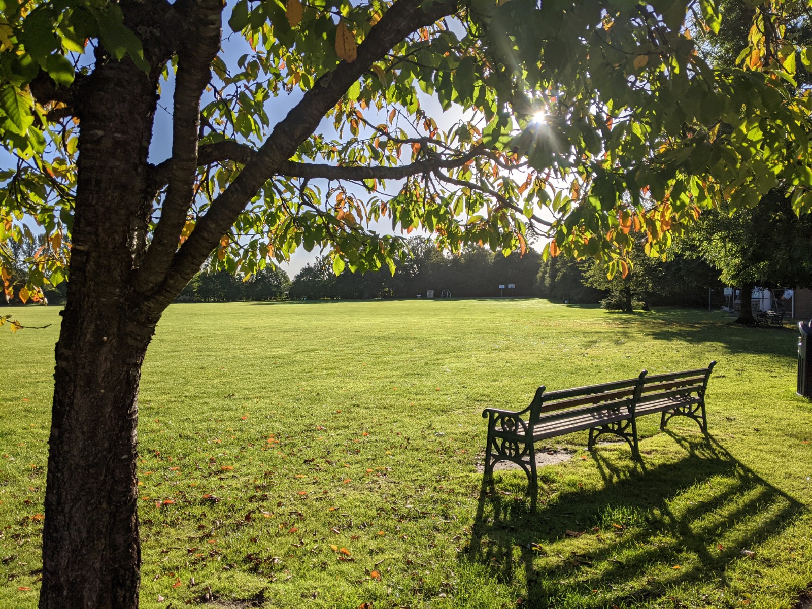
The Bearwood Recreation Ground, located in the south of the parish, is owned by the Parish Council. It is used extensively for football and is the home of the Winnersh Rangers Football Club. Winnersh Community Centre consists of the Winnersh Hall, Sindlesham Room, the Allnatt Pavilion and the Parish Council Office, and there are activity areas for children and young people. Dinton Pastures Country Park, owned by the Borough Council and adjacent to the parish’s northern boundary, provides facilities for walking, sailing, fishing, bird watching and golf.
Schools and Churches
The parish has a successful comprehensive school (Forest – a specialist Business and Enterprise College for boys) and three primary schools (Bearwood in the south and Winnersh and Wheatfield in the north). A library has been built in the grounds of the Forest School for shared use by the public and the school. There are three churches serving Winnersh: St Catherine’s, St Mary’s and The Gate Baptist Church.
Shops and Leisure
Winnersh has a large supermarket (Sainsbury’s), DIY and auto-product stores (Wickes and Halfords), a pet shop (Pets at Home), a post office and a range of small shops and other commercial outlets. There is also a garden centre, Showcase multi-screen cinema as well as a well-known health club (Nirvana/Pulse 8). The Winnersh IQ business park (formerly Winnersh Triangle) has been selected by several international companies for their European headquarters, and is being extensively redeveloped over the next few years to keep up with changing commercial needs.
Road and Rail
The parish has excellent road and rail communications with easy access to the M4 motorway via the A329(M) and two stations (Winnersh and Winnersh Triangle) on the Reading to Waterloo line.
Winnersh Parish Boundary
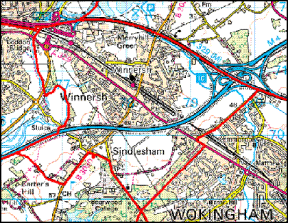
Winnersh Parish Boundary
Image produced from Ordnance Survey’s Get-
The Loddon Lily Logo
The logo used by the Parish Council represents the Loddon Lily. The lily was chosen when Sainsbury’s was looking for a local theme to use as the basis for a sculpture outside their newly extended store at the Winnersh Crossroads. The Loddon Lily is a “national species of local importance”, with a declining population and becoming rare locally.
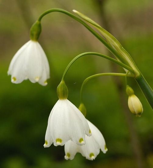
Loddon Lily – Photo Courtesy of www.floralimages.co.uk