There are a number of online catalogues and databases to view historical images and objects from Winnersh, Sindlesham and Bearwood.
Images can be found on the website from, the now disbanded, Winnersh Historical Society. There are photos, maps as well as documents relating to the history of Winnersh and the surrounding area.
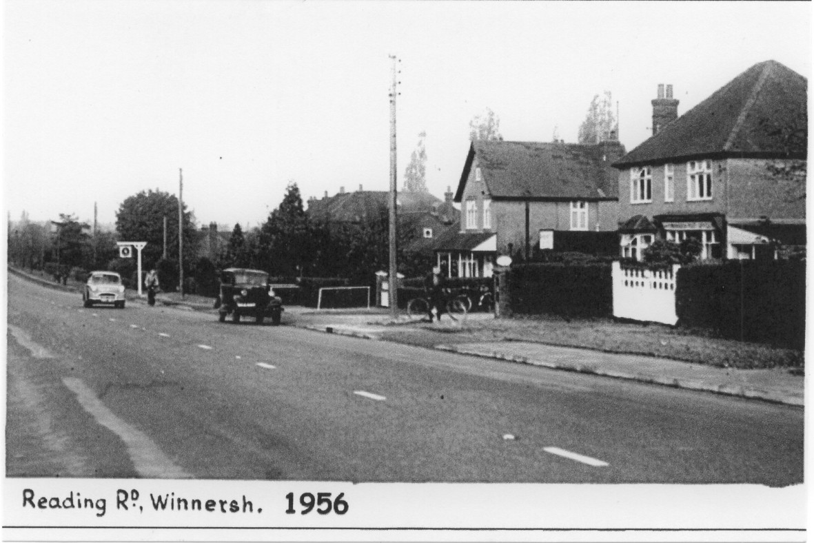
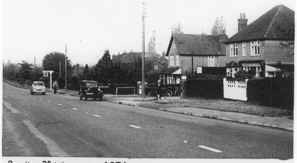
Photo of Reading Road, Winnersh, 1956. This photo is taken from the website of the Winnersh Historical Society.
Information can also be found at the Berkshire Records Office where you can search the catalogue for details of what is in the collection. The Berkshire Records Office also has information and maps relating to the Enclosure of common fields in Berkshire between 1700 and 1900. Altogether approximately 160,000 acres in Berkshire, or approximately one-third of the total land area of the county, were enclosed by Parliamentary means between 1738 and 1883. The open fields (particularly predominant in the north), common lands and manorial wastes were swept away, to be replaced by small fields surrounded by hedgerows. You can browse the maps here.
Photos and objects can also been seen on the website of the Museum of English Rural Life in Reading. MERL has a photographic collection by Phillip Osborne Collier who was was a commercial photographer and postcard publisher working in Reading from around 1905. There are a number of photos of Winnersh and Bearwood in the collection which can be searched for here.